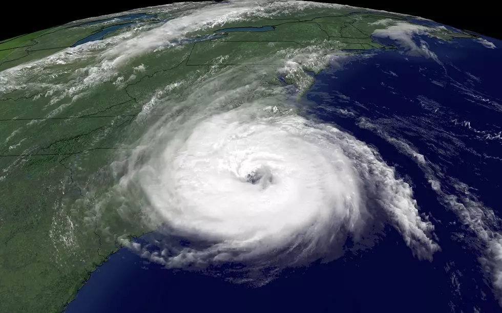
Early Models Suggest Hurricane Jose Will Be A Direct Hit On New England
Hurricane season has been particularly brutal in 2017, with the United States still reeling from the devastation of Hurricane Harvey and now preparing for some more destruction courtesy of Hurricane Irma. Up here in the northeast, we rarely see any of the true effects of these tropical storms. But according to the latest GFS model for Hurricane Jose, we may be in-line for a direct hit.
Shared on Twitter by Robert LaRoche, the latest GFS models have Hurricane Jose crawling up the eastern seaboard and making impact with land in Cape Cod. Predictive models can often be wrong, but they should also serve as a precursor and warning. It is unknown how strong Jose would be by the time it made landfall in the chillier New England waters, but its impacts could still be significant.
Maine would also directly be in-line for some of the potentially damaging winds and heavy rainfall that Jose would bring. The predictive model suggests September 20th as the impact date. Maine hasn't seen an actual landfall for a hurricane since 1991, when Hurricane Bob hit.
It's far too early to sound the alarms and empty store shelves of food and water. But given how this hurricane season has gone, it's not hard to believe that Jose could make its way all the way to the northeast. Keep the people of Florida in your thoughts this weekend, and keep your eye on Jose...he may be coming to visit.
BONUS VIDEO:
More From 94.3 WCYY


